
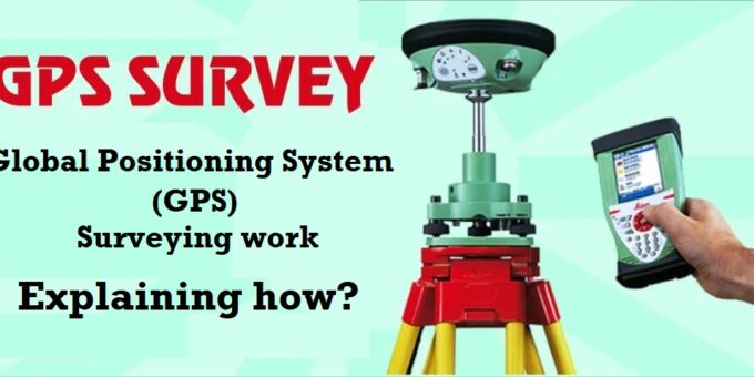
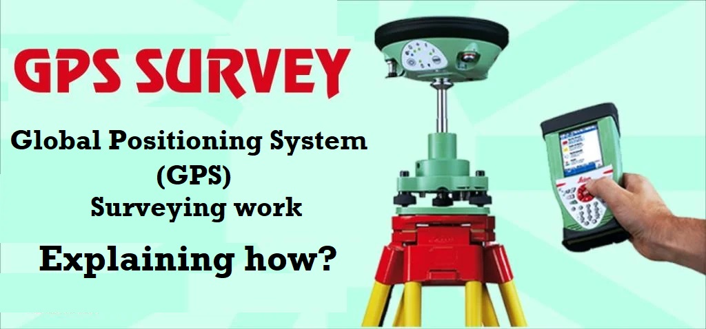
Global Positioning System (GPS) & Surveying work.
The advantages of GPS in surveying work are as follows :-
- Surveys becomes independent of weather conditions as a result of using radio frequencies to transmit the signals.
- Unlike conventional surveying procedures, there is no need for invisibility between stations.
- Use of same field and data reduction procedures results in position accuracy which are independent of network shape or geometry.
- The points can be established wherever they are required and need not be located at evenly distributed sites atop mountains to satisfy indivisibility, or network geometry criteria.
- GPS surveying is more efficient, more flexible and less time consuming positioning technique than using conventional terrestrial survey technologies.
- GPS can be used to obtain high accuracy three dimensional (3D) information, analytical and anytime.